
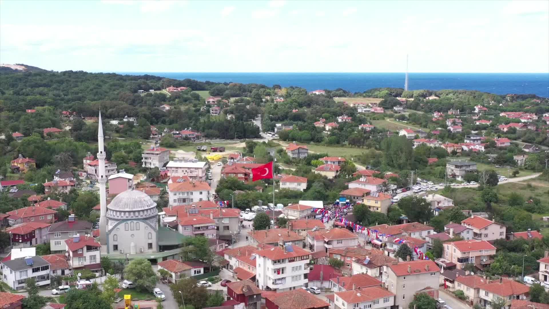
Chatalja neighborhood
The history of Chatalja region
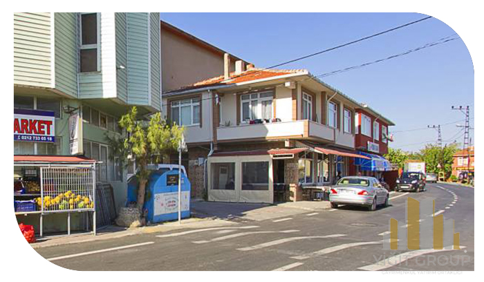
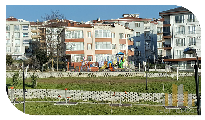
It is very common to buy property in Çatalja, Istanbul. Because there are all kinds of properties in this area, including beautiful apartments to attractive country houses. In some neighborhoods of Chatalja, residential houses with the best facilities have been built, which has provided a good position for investors. One of the most important reasons that has attracted many investors to this area is its great variety of natural places. /p>
Historically, Chatalja entered the Ottoman administration in 1371 after the conquest by Sultan Bayezid I. The Ottomans gave the name Chatalburgaz to Chatalja, which was called Matray before the conquest. This building was built with the special interest of Farhad Pasha, who was the Prime Minister of that period at the end of the 16th century. Farhad Pasha, who ensured that water was brought to Çatalja, called the architect Sinan to build a mosque in Çatalja.
Olia Chalabi writes that Chatalja was two thousand steps from north to south in the 17th century and there were palaces, lodges, 1 inn, 1 bath and 270 shops in the city. Agha Palace, Hasan Pashazadeh Palace, Qizler Agassi Palace, their names and fame have remained until today. In addition, it is known from the available documents that there were 7 dervish lodges, 270 shops, many fountains and baths.
Farhad Pasha Mosque was built in the 16th century by Grand Vizier Farhad Pasha, one of the famous ministers of that period. This building was built in the 16th century and the architect of this building is Mimar Sinan. This building was built at the foot of the hill on which the city was built, and it is located on the road that passes in front of it. Chatalja has been an agricultural area since ancient times, and this feature has remained until today. is.
Geographic features of Chatalja region
Chatalja is a region with an area of 1.715 square kilometers. According to the census statistics, this area has a population of 89,158 people and a population density of 73 people per square kilometer. Coordinates of this border area: 41°08'28, 28°28'02 This area of Istanbul is in the European part, on the western borders. This country has beaches in the Sea of Marmara and the Black Sea.
Most of this area is covered with forest. This area is 135 km away from the coast. Its distance to the city center is 55 km. It is bordered by Büyük Cekmece from the south, Silivri and Tekirdağ provinces from the west. Its neighbors in the east are Avjilar, Koçuk Chekmje and Gaziosman Pasha. This area is the largest area of Istanbul in terms of area.
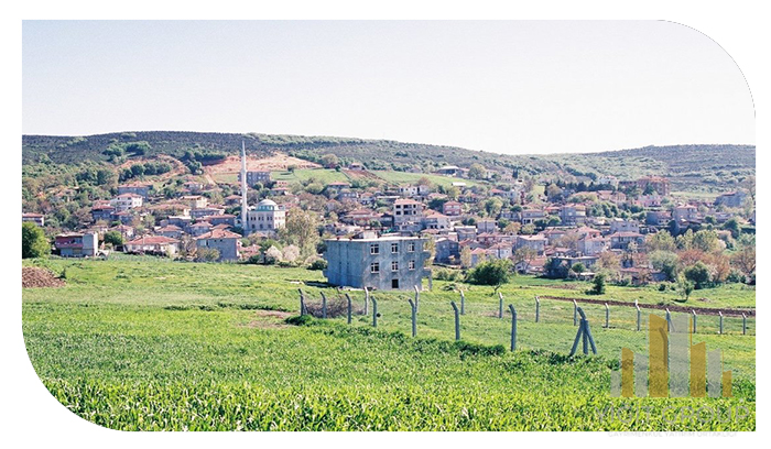
On the northern part of the Black Sea coast of the district, there are forested highlands that are a continuation of the Strandja Mountains. In the south, fertile plains begin. Istanbul's drinking water is obtained from Turkuz Lake and Büyükçekmece Dam Lake within the borders of this area. There are many large and small streams that bring water to Lake Turkuz, especially the Isternka stream. This city was established in an area where high hills up to 330 meters in the southwest and the continuation of Istranka mountains merge with the plain.
Sightseeing places and historical monuments of Chatalja region
• Flamingo area
• The beach of Ermanli village
• Yali Koi
